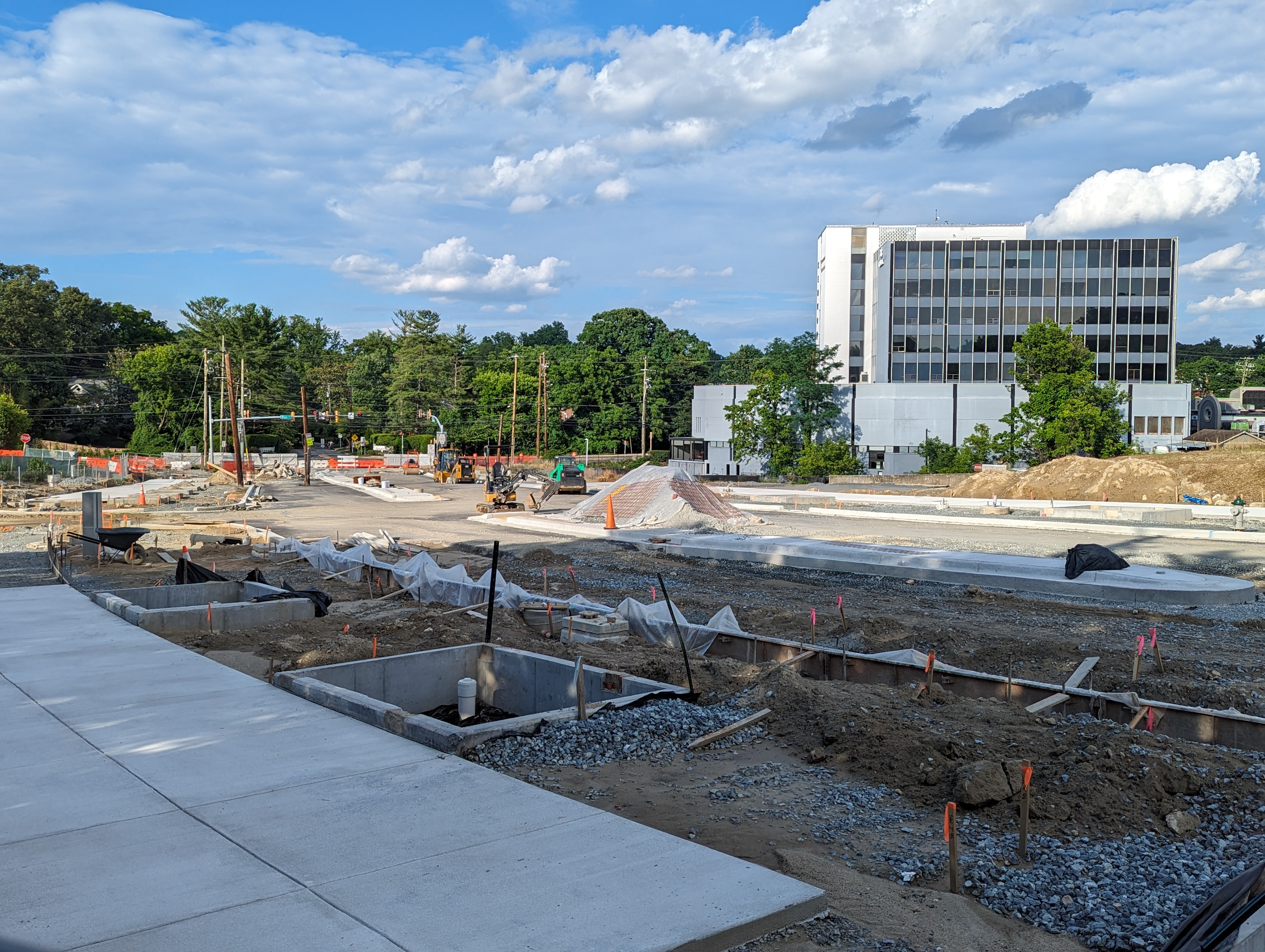
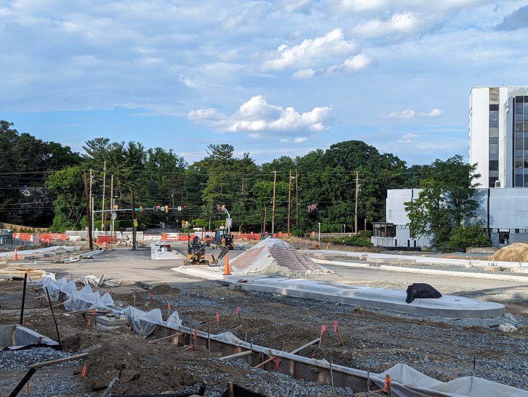
Google Maps is displaying incorrect information for the recently-reopened road network around Westbard Avenue in Bethesda. The website shows a traffic signal at the intersection of Westbard Avenue and Ridgefield Road, which reopened last Friday, December 1, 2023. There is no traffic signal at that intersection, only stop signs. But that's not all that's wrong.
 |
| Note shown by Google Maps incorrectly labeling a block of Ridgefield Road as "Closed" |
Even more strangely, the "Traffic" layer of Google Maps is showing the block of Ridgefield Road between Newington Road and Westbard Avenue as "Closed until Jan. 19, 2024." This is also - obviously - incorrect, as the road has been open for three days now. I'm curious where Google is retrieving this data from. Up until today, I assumed that information about planned road closures was retrieved from official government feeds that announce such information - the Montgomery County Department of Transportation, in this case.
 |
| Despite Google Maps' claims, there is no traffic signal at this intersection |
The rest of the traffic information for the Westbard area appears to be correct, including the recently opened "Brookside Drive" block between River Road and Westbard Avenue. I checked with a user of the Waze navigation app, who reported back that Waze was displaying accurate information about the Westbard area as of last night, so it appears to be a Google issue.